
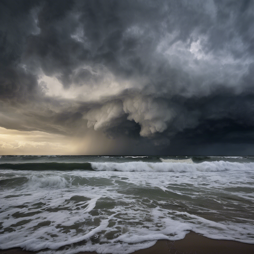
Storm Watch: A Tropical System Brewing in the Pacific
As weather systems shift and change, the Pacific is poised to welcome a new tropical storm this coming Friday, stirring excitement and concern across coastal communities. The atmospheric conditions are ripe for development, and forecasts predict this storm could significantly impact weather patterns from Hawaii to the western U.S. mainland. 🌪️
Preparedness is vital when facing the unpredictable nature of tropical storms. Residents are encouraged to stay informed on its path and potential impacts as expert meteorologists analyze models that offer crucial insights into the storm’s trajectory.
The Formation Risk
The National Hurricane Center has reported that tropical disturbances have been developing in the central Pacific, where warm ocean waters and ideal wind patterns create fertile grounds for storm creation. Meteorological models indicate that this system could intensify rapidly, leading to sustained winds that pose a threat to shipping routes and coastal areas. Currently, expert predictions highlight a 70% likelihood of the storm forming by Friday. 🌊
Spaghetti Models: Tracking the Unpredictable Path
One of the tools meteorologists use to track potential storm paths is the well-known spaghetti models, which illustrate various scenarios of where the storm might head. These models account for various meteorological inputs, including atmospheric pressure, temperature, and wind currents. While some models suggest a trajectory towards open waters, others indicate direct impacts on land, requiring detailed examination by local authorities. 📈
Current Predictions:
- Left Turn Toward Hawaii: Some models predict the storm could curve toward the Hawaiian Islands, prompting precautionary warnings for residents and tourists alike.
- Western U.S. Impact: Alternative projections suggest the storm might track further northeast, potentially reaching the California coast as a more destabilizing system.
- Increased Severity: Should the storm gain strength, hurricane watches and warnings might be issued, depending on its development.
Public Preparedness: Staying Ahead of the Storm
It’s essential for residents in potentially affected areas to prepare early. Local emergency management services provide updates and recommendations to help mitigate storm-related risks. Here are key actions to take if you live in or near coastal regions:
- Emergency Kits: Prepare an emergency kit with essential supplies, including food, water, medications, and important documents. 🥫
- Evacuation Routes: Familiarize yourself with local evacuation routes and follow municipal announcements for updates on any evacuations.
- Stay Informed: Monitor local news and the National Weather Service for real-time updates on storm developments and advisories.
“The unpredictability of tropical storms emphasizes the necessity of community preparedness and resilience,” states Dr. Karen Villanueva, a climate scientist at the National Oceanic and Atmospheric Administration (NOAA).
Impact on Climate Awareness
The forthcoming storm serves as a reminder of the pressing realities of climate change and its impact on storm frequency and intensity. Experts warn that warmer oceans contribute not only to the formation of storms but also to their potency. As communities brace for the possibility of heavy rainfall, strong winds, and coastal flooding, understanding these patterns is increasingly crucial. 🌍
Final Thoughts
As anticipation builds and predictions evolve, the Pacific’s upcoming tropical storm reminds us of nature’s power and unpredictability. By remaining informed and taking proactive steps, we can safeguard ourselves and our communities while weathering the storm—together. 🤝



I cant believe theyre still using spaghetti models to predict storms! Can we trust these wiggly lines? Seems like a recipe for disaster.
Do you think spaghetti models are reliable in predicting storms? I mean, can we trust pasta to tell us where a hurricane is going? 🤔
Spaghetti models are just one tool among many used by meteorologists. Theyre not based on pasta, FYI.
Im curious, do you think we rely too much on spaghetti models for predicting storms? I prefer good old-fashioned forecasting!